Drishya Mini

Indian by birth. Revolutionary by design. Rebel by choice.

Download Brochure
Drishya Pro Product Image

Why Drishya Mini?

Drishya Mini, an adapted variant of the mighty Drishya Pro, is designed with size and capacity modifications to cater specifically to the commercial segment. It is built small for easy deployment and operations when it comes to remote surveying, inspection, and monitoring of high-to-reach areas. It will be your indispensable industrial asset to analyze or detect any anomalies by being your eye from the above.
  • Built Small, does Big, and deploys easy. Offers pure performance at just 4.5 kgs with variants tailored for specific applications.
  • Smart & intelligent with an operational range of 3-4 kms and a flight time of 30 minutes.
  • Defies all obstacles to get what you want done and can be launched even from confined spaces.

Better built. Better backed. Never goes obsolete.

product image 2
  • Carries features that can forever back your operational requirements, no matter how big.
  • Real-time target tracking
  • Self-diagnosing Li-ion batteries with intelligent RH feature
  • Generates a trail for moving targets
  • Vision-based navigation in the cases of GPS loss
  • Programmable payload actions and flight profiles

Technical Specifications

Endurance > 30 min

Range > 3-4 km

Weight < 4.5 kg

Wind Resistance - 45 kmph

Operating Altitude - 400m

Typical Cruise Speed - 7 m/s

Launch & Recovery - Autonomous (VTOL)

Deployment Time <10 mins

Capture everything beyond your reach and capture it precisely

product image 2
  • Cameras that are indigenously developed for uncompromisable quality and improved reliability.
  • Daylight Camera with FHD 4K resolution that is near close to human vision.
  • Leaves no detail unseen with 10x optical zoom.
  • Thermal imaging with sensitive LWIR
  • Improved focal length, wide field of view

Built to be customizable for all your better ideas to take the best shape

product image 2
  • Survey, detect, classify, identify and track all your targets
  • Rescue and damage assessment for first response
  • Inspection of high lines, industrial fixtures, solar panels, or other high-to-reach areas
  • Crowd control, management, and target monitoring along with trail generation
  • Vegetation and wildlife survey
  • Perimeter security solutions that seamlessly integrate with your existing CCTV/ security systems

Ground Control Station

product image 2

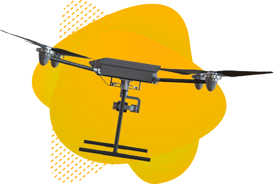
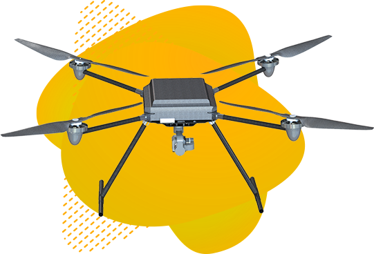
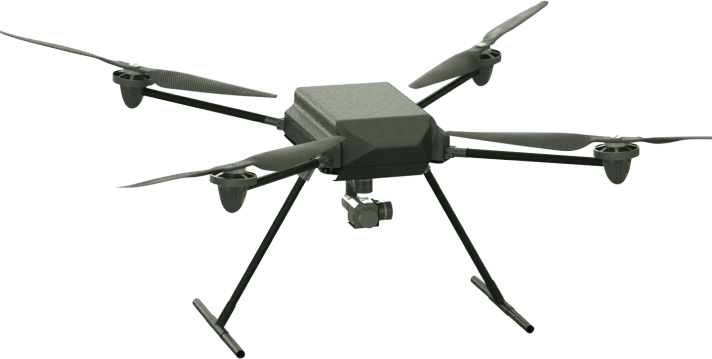
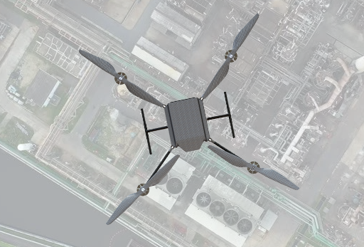
    Brilliantly envisioned and intelligently developed

  • Size - Ruggedised 10” tablet
  • Nature- Ergonomic, and weather-proof
  • GUI - Intuitive with AES 128/256 encrypted secure real-time data links of improved accuracy
  • Software - Completely coded in-house
  • Performance - Tested to remain steadily operational up to 500 flight hours or 1000 flights
Download Brochure